Edmonton Real Estate Drone Video: Quote and Feasibility Guide

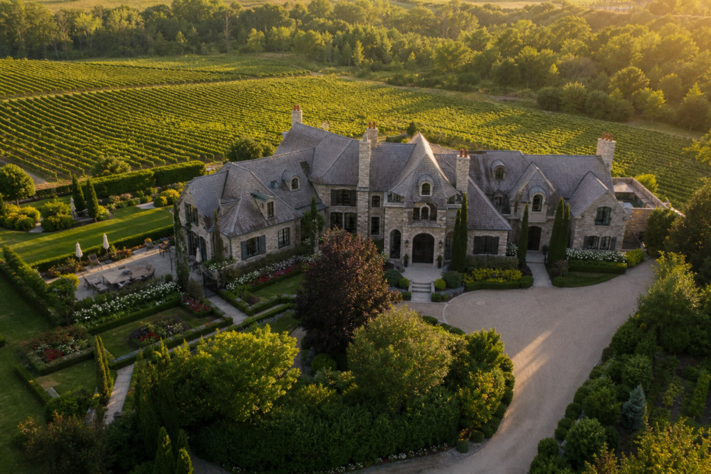
Edmonton real estate drone video can show buyers something ground-level photography cannot: how a property relates to its lot, street, neighbourhood and nearby amenities. Aerial footage is especially useful for ravine homes, infill properties, acreages and newer communities where location is a major part of the listing story.
However, drone coverage does not benefit every home equally. Agents also need to consider Edmonton airspace, nearby heliports, weather, privacy and the difference between raw aerial clips and a fully edited listing video. This guide explains how to compare quotes, check flight feasibility and decide whether aerial media answers a useful question about an Edmonton property.
Compare Edmonton drone video quotes by scope
Ask a local provider to separate the flight visit from post-production. Edited aerial photographs, supplied clips and a finished property film are different deliverables. This guide does not supply a verified Edmonton market average.
- List the buildings, grounds and access routes requiring coverage.
- Identify whether interior filming, agent audio or a second location is included.
- Confirm edited photo count, video formats and the revision allowance.
- Request the total including applicable taxes, travel, authorisation work and any return visit.
- Agree on weather rescheduling and what happens if the requested flight is unavailable.
Drone rules: check the actual operation
Transport Canada currently distinguishes Basic, Advanced and Level 1 Complex operations. The applicable requirements depend on the aircraft and proposed flight. Read the current operation categories before finalising aerial coverage.
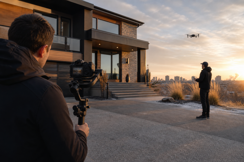
A pilot’s certificate alone does not authorise every shot. The operator must assess the address, people, aircraft suitability, airspace and any necessary authorisations. For Advanced operations in controlled airspace, air traffic control permission is required. Land access and privacy must also be addressed.
Microdrones under 250 g do not require registration or a pilot certificate, but are still subject to safety, restricted-airspace and other applicable rules. A smaller aircraft is not permission to fly anywhere. Ask the operator to explain feasibility and a ground-based alternative before accepting a drone deliverable.
Best uses for drone video in Edmonton
River valley and ravine-adjacent homes
Properties near the North Saskatchewan River valley can benefit from an aerial establishing shot that shows greenery, trail access and the home’s position relative to the landscape. This can be effective in areas such as Glenora, Riverdale, Highlands and neighbourhoods near Mill Creek Ravine. The footage should communicate genuine proximity without implying private access that does not exist.
Luxury homes and large lots
In Windermere, West Edmonton and established central neighbourhoods, drone movement can reveal architecture, landscaping, pools, detached garages and lot depth. A slow approach or elevated orbit is often more valuable than a high-altitude overview because it keeps the property visually dominant.
Newer suburban communities
In Keswick, Secord, Summerside and other developing areas, buyers may want to understand streets, parks, ponds and surrounding construction. Drone video can establish community context, but current conditions should be represented accurately. Planned amenities should not be shown or described as completed features.
Infill homes and redevelopment sites
Aerial photos can clarify lot shape, rear-lane access, garage placement and the relationship between new construction and surrounding streets. This is useful in infill-focused neighbourhoods such as Ritchie, Westmount and Strathcona. For land listings, approximate boundary graphics may help viewers, although they should be presented as marketing references rather than legal surveys.
Acreages and properties outside the core
For larger properties around the Edmonton region, aerial video can show driveways, tree coverage, shops, barns and separation between buildings. These shoots often cost more because of travel and the number of features requiring coverage, but they are among the strongest applications for drone media.
When aerial footage may not add value
Drone coverage may be unnecessary for a small interior-focused condo, a home surrounded by visual obstructions or a listing where the wider setting does not support the marketing story. Downtown and Wîhkwêntôwin condo listings can still use aerial establishing footage, but airspace, launch locations and building permissions may make production more complex.
Edmonton weather is another consideration. Strong wind can affect stability, while snow, haze and flat winter light can reduce visual impact. A provider should explain its weather policy and whether unsafe conditions qualify for rescheduling.
Choosing an Edmonton drone video package
Ask whether the quoted service includes edited photos, colour-graded video, vertical social clips and neighbourhood footage. Confirm the operator will assess airspace and has the appropriate registration, certification and insurance for the planned flight. For most listings, the best value is a coordinated package combining interior photography, ground video and a concise set of purposeful aerial shots.
This is an Edmonton planning guide, not confirmation of Melon Media crew availability there. For a wider budget comparison, see our real estate media package guide. Melon Media’s published video services focus on Toronto and the GTA.
Ready to tell your story on camera?
Photography and video for Toronto and the GTA. Review the service scope and delivery timing before booking.