Winnipeg Real Estate Drone Photography: When Aerial Views Help

- When does drone photography add value in Winnipeg?
- When is a drone add-on less useful?
- Compare Winnipeg aerial photography quotes
- What should a useful aerial shot list include?
- Winnipeg flight planning, weather and seasonality
- How to prepare a listing for aerial media
- Is aerial media right for your Winnipeg listing?
- Brief an available local operator
Winnipeg real estate drone photography can reveal details that ground-level images cannot: lot size, river frontage, nearby parks, neighbourhood context and the relationship between a home and its surroundings. However, aerial media is not essential for every listing. The best results come when the location, land or exterior features are part of the property’s value proposition.
This Winnipeg-focused guide explains which listings benefit from aerial photography and video, what Realtors should request, and what can affect the cost or feasibility of a drone shoot.
When does drone photography add value in Winnipeg?
Drone media is most useful when an elevated perspective answers an important buyer question. It should communicate more than a standard exterior photograph rather than being included simply because a package offers it.
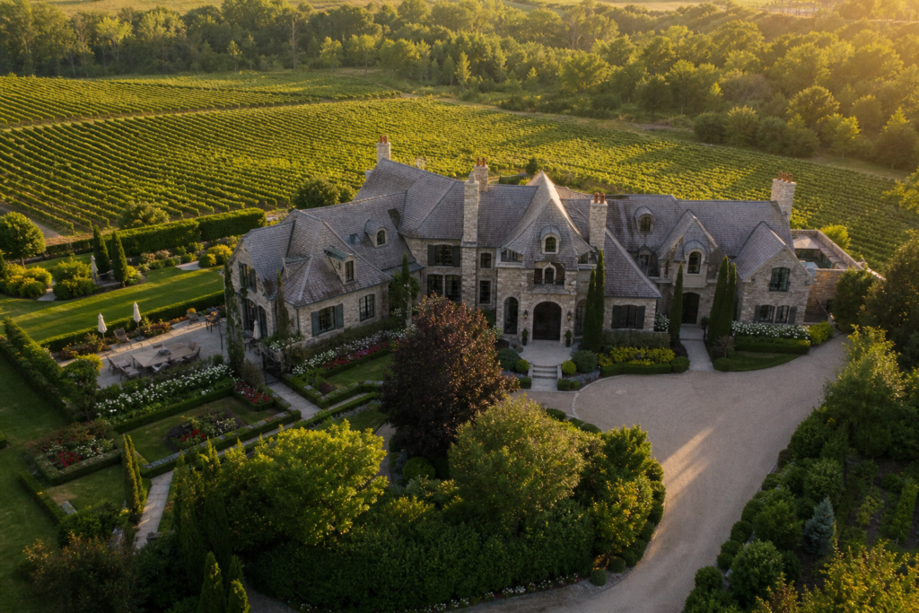
Large lots and estate properties
For homes with deep yards, extensive landscaping, multiple structures or unusual lot lines, aerial images help buyers understand the complete property. This can be especially valuable for estate-style listings around Charleswood, Headingley and West St. Paul, where land and privacy may be central selling points.
A combination of an angled hero image and a higher overview can show the home, driveway, yard, garage and surrounding greenery in one visual sequence.
Riverfront and waterfront homes
Winnipeg’s rivers create listing features that are difficult to communicate from the ground. Properties near the Red, Assiniboine or Seine rivers may benefit from aerial media showing the home’s position relative to the water, tree canopy and neighbouring lots.
Drone images can be particularly effective around River Heights, East Fort Garry, St. Vital and St. Norbert when the river setting is genuinely visible and relevant. Flights still depend on site conditions, airspace, weather and safe operating distances.
Homes near parks, trails and community amenities
Location-driven listings can use carefully planned aerial shots to establish proximity to green space without suggesting that an amenity belongs to the property. In areas such as Bridgwater, Sage Creek, Linden Woods and Tuxedo, an elevated view may highlight lakes, pathways, parks or community design.
These images work best when paired with accurate captions or map graphics during editing. Realtors should avoid vague claims such as “steps from the park” unless the distance supports them.
New developments and infill projects
Builders and agents marketing new construction can use aerial photography to document the building, lot orientation, streetscape and progress of the surrounding development. Overhead and angled images are also useful for infill homes where buyers want to see how a contemporary property fits into an established Winnipeg neighbourhood.
Commercial, agricultural and multi-building listings
Warehouses, development parcels, farms and properties with detached shops often need broader visual coverage than residential listings. Aerial media can show access roads, parking, building placement and adjacent land more efficiently than a long series of ground photographs.
When is a drone add-on less useful?
Aerial coverage may add limited value to a condo unit, a tightly spaced property with no notable exterior features or a home where nearby visual clutter distracts from the listing. It can also be unnecessary when mature trees completely obscure the building.
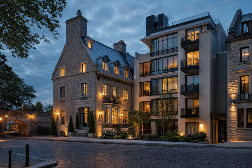
In these cases, the budget may be better allocated to twilight photography, detailed interior coverage, a floor plan or a vertical walkthrough video. A responsible media provider should recommend the format that communicates the property most clearly.
Compare Winnipeg aerial photography quotes
Request an address-specific quote describing site assessment, edited photographs, video clips and any finished film. Confirm travel, flight planning, editing, rights, applicable taxes and a weather alternative. This article does not establish a verified Winnipeg market rate.
The media package guide helps compare an aerial visit with a wider photography and video brief.
What should a useful aerial shot list include?
A strong Winnipeg real estate drone photography package does not require dozens of similar images. A concise shot list can include:
- An angled front hero view showing the architecture and lot.
- A rear angle revealing the yard, deck, pool or outbuildings.
- An overview showing the property’s apparent layout and context. Any boundary graphic must be verified and identified as illustrative, not a legal survey.
- A location-facing image showing a relevant river, park or amenity.
- A top-down frame when the roofline, landscaping or parcel layout matters.
- Slow video approaches, reveals and pull-away shots for listing films.
For short-form marketing, a five-to-ten-second vertical clip can open on the home, rise to reveal the neighbourhood and cut into an interior walkthrough. Another option is a quick exterior orbit followed by three feature shots and a final agent call to action.
Winnipeg flight planning, weather and seasonality
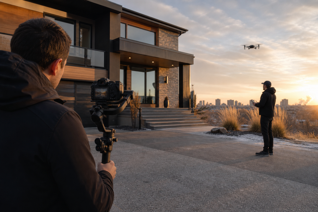
Drone operations must comply with Transport Canada requirements and any applicable airspace restrictions. Depending on the aircraft, location and operation, the pilot may require the appropriate certificate, registration and airspace authorization. Parts of Winnipeg can involve controlled airspace because of airports and heliports, so every address should be assessed before the appointment.
Weather is another practical factor. Strong wind, precipitation, low visibility and extreme cold can make a flight unsafe or reduce image quality. Winnipeg winters can still produce striking aerial visuals, but batteries perform differently in cold temperatures and fresh snow is usually more attractive than grey slush or heavily tracked surfaces.
Summer offers greenery and longer shooting windows, while autumn can add colour around mature neighbourhoods such as Crescentwood and Wolseley. Midday may be practical for clear lot visibility, but earlier or later light often creates a more cinematic exterior.
How to prepare a listing for aerial media
- Move vehicles away from the driveway and front elevation when possible.
- Remove bins, hoses, tools and temporary yard items.
- Open umbrellas and arrange patio furniture neatly.
- Confirm that pools, landscaping and exterior lighting are presentation-ready.
- Tell the photographer which nearby feature matters most to the listing.
- Provide accurate property boundaries before requesting outline graphics.
Agents should also explain whether the priority is MLS photography, a cinematic horizontal film, Instagram Reels or a combination. Capturing with the final formats in mind produces stronger compositions and avoids awkward cropping.
Is aerial media right for your Winnipeg listing?
The deciding question is simple: does the aerial perspective make the property’s value easier to understand? For a riverfront home, acreage, new development or location-focused listing, the answer is often yes. For an interior-led condo or a home with limited exterior appeal, another media format may answer the buyer’s questions more directly.
Brief an available local operator
Provide the address, priority views and proposed use, then have the operator assess feasibility against current Transport Canada requirements.
This Winnipeg article is a planning resource, not confirmation of local Melon Media crew availability. Melon Media’s photography service page describes its Toronto and GTA offering.
Ready to tell your story on camera?
Photography and video for Toronto and the GTA. Review the service scope and delivery timing before booking.