Ottawa Real Estate Drone Video: Planning, Rules and Quotes

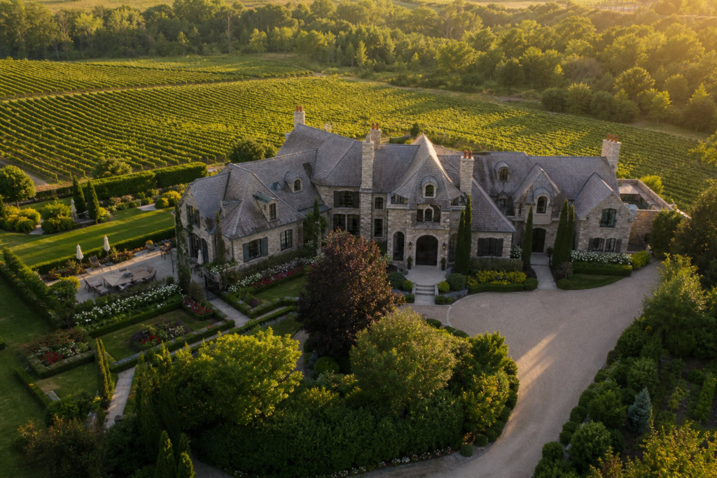
Drone footage can explain a property’s setting, the relationship between buildings and outdoor space, or an approach that is difficult to show from the ground. Before including it in an Ottawa listing campaign, give the operator the exact address and identify what the aerial view needs to communicate.
Do not promise a flight or a specific aerial shot to the seller before the operator has reviewed the location. This article is a planning guide, not a site-specific flight clearance or an Ottawa service offer from Melon Media.
Start with the location review
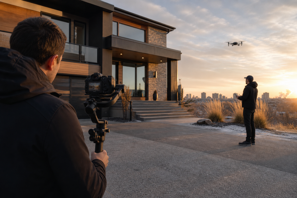
The operator should assess the proposed launch area, aircraft, nearby people, airspace and any site permissions. Airport or heliport proximity is a reason for a precise review, not a basis for assuming every nearby property is either flyable or prohibited.
Transport Canada’s operation categories depend on the aircraft and flight conditions. Paid real estate work does not, by itself, determine the required certificate. Ask the pilot to confirm the applicable category and any required authorisations for this address.
Choose a small number of useful aerial views
- Property approach: establish the home and its immediate setting without lingering over neighbours.
- Outdoor relationship: connect a yard, terrace or outbuilding to the main home.
- Water or landscape context: show an actual relationship to the surroundings without implying ownership or access rights.
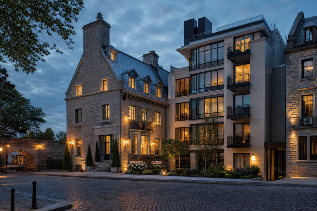
- Building context: explain where an apartment building sits when that information adds value beyond street-level coverage.
An aerial image is not a survey. Use verified source material for boundary graphics and clearly label illustrative overlays. Do not infer a legal waterfront right, private access or development potential from a flyover.
What belongs in the quote?
Request separate detail for aerial stills, filmed clips and edited deliverables. A short drone sequence added to a property film is a different scope from a standalone edited aerial video. Confirm whether travel, location assessment, required permissions, captions, vertical exports and revisions are included.
Ask how weather cancellations, unavailable flight permissions or an unusable launch area affect the fee and schedule. There is no verified Ottawa market-average price presented here; obtain a current written quote for the actual address and production brief.
Prepare the ground before the aircraft arrives
Arrange safe site access, move vehicles where permitted and finish outdoor staging. Keep people and pets away from the operator’s working area as directed. Flag private spaces, sensitive possessions and neighbouring windows that should not become the subject of the footage. The pilot makes the operational decisions on site.
Have a useful backup
If flight conditions do not allow the planned coverage, ground-level exterior views may still explain the property. Agree whether the campaign will launch with those images, wait for a rescheduled aerial visit or use previously captured footage with appropriate permissions and context.
For broader preparation, read the Canadian real estate drone planning guide. Pair an aerial sequence with one of the vertical listing video concepts only when it helps tell the property story. Toronto and GTA projects can review Melon Media’s real estate video options and confirm coverage separately.
Ready to tell your story on camera?
Photography and video for Toronto and the GTA. Review the service scope and delivery timing before booking.