Quebec City Real Estate Drone Video: Plan the Flight and the Story

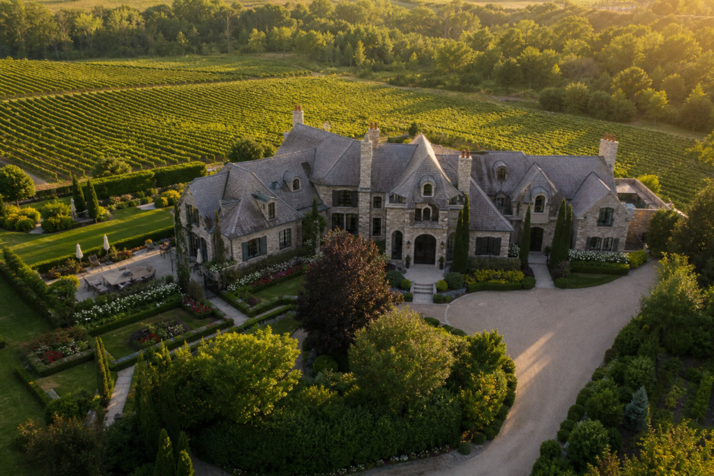
Drone footage for a Quebec City listing should explain something specific: the arrangement of the site, the approach to the building or the relationship between outdoor spaces. Start with the buyer’s question, then ask a qualified operator whether the proposed flight can be completed safely at the exact address.
Choose property context over unrelated scenery
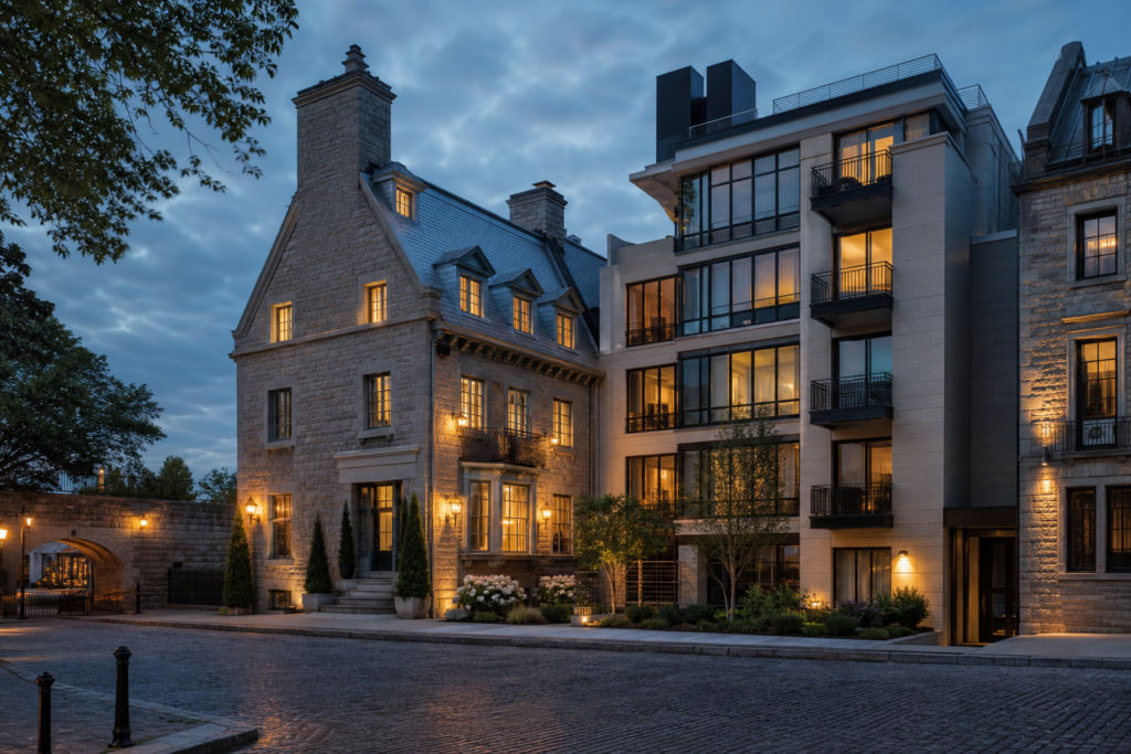
Identify the building and the relevant exterior features clearly. An aerial may show slope, access or the arrangement of structures, but it cannot establish a legal boundary or permitted land use. Any overlay or feature label should be checked against reliable property information.
Show actual views from the home alongside aerial views. Avoid implying that an outlook filmed above the roof is available from a room or terrace. If a nearby attraction appears, distinguish neighbourhood context from an amenity belonging to the property.
Check the current flight requirements
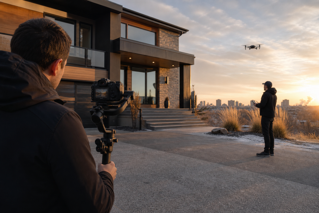
The operation depends on the aircraft, location, proximity to people and planned flight. Transport Canada lists Basic, Advanced and Level 1 Complex categories, with separate microdrone rules. Review the official categories with the operator rather than assuming one certificate covers every property shoot.
Where authorization is needed for NAV CANADA-controlled airspace, the operator can use NAV Drone. Building access or the owner’s permission to launch does not replace required flight authorization. Privacy, nearby people, weather and site restrictions also need attention.
Prepare a useful briefing sheet
- Exact address, contact person, arrival instructions and approved filming areas.
- Features to show and any areas to avoid.
- Verified wording for property labels and neighbourhood context.
- Required language versions, including review of French or English captions.
- Expected formats, deadlines and the person approving the final edit.
For occupied or shared properties, coordinate access and prevent unnecessary capture of private spaces. In winter, describe unsafe or inaccessible outdoor areas before the crew travels.
Compare production quotes
Ask whether the quote includes photographs, a finished drone film or aerial segments within a larger listing video. Confirm editing, revisions, usage rights, travel and applicable taxes. Agree on what happens if weather or restrictions prevent the flight. This guide does not claim verified Quebec City average prices or promise local production availability.
Review for accuracy before release
Check the property identification, labels, view heights and any boundary graphics. Remove unsupported claims about development potential or historic status. The aerial should clarify the existing listing, not create a different impression of it.
Use our Canadian drone planning guide and shoot preparation checklist as companion resources, then confirm the actual brief with an available local operator.
Ready to tell your story on camera?
Photography and video for Toronto and the GTA. Review the service scope and delivery timing before booking.